Construction Staking
Construction staking of improvements shown on improvement plans for control of construction on developments for roads, buildings, pipelines, etc.
ALTA/NSPS Land Title Surveys
Surveys made for the purpose of supplying a title company and lender with survey and location data necessary for the issuing of title and/or mortgage insurance.
Topographic Surveys
A Land Survey locating natural and man made features such as buildings, improvements, fences, elevations, land contours, trees, streams, etc. This type of survey may be required by a government agency, or may be used by Engineers and/or Architects for the design of improvements or developments on a site.
Residential and Commercial Development Surveys
The subdivision of a tract of land into smaller parcels, showing monumentation and survey data on a map, in conformance with state laws and local ordinances.
Land Planning
A combination of boundary and topographic surveys for preparation of a site plan to be used for designing improvements or developments.
Residential Land Surveys and Rural Surveys
Surveying residential and rural tracts of land, showing improvements on plats of survey, and if necessary, providing field notes. A title company and lender may be involved and use the plats and field notes in a real estate transaction.
Oil and Gas Well Locations
Surveying for the locations of Oil and Gas Wells, Unit Surveys, Unit Declarations, and permitting.
Pipeline Route Surveys
Surveys of corridors for oil and gas pipelines, flowlines and umbilical cables.
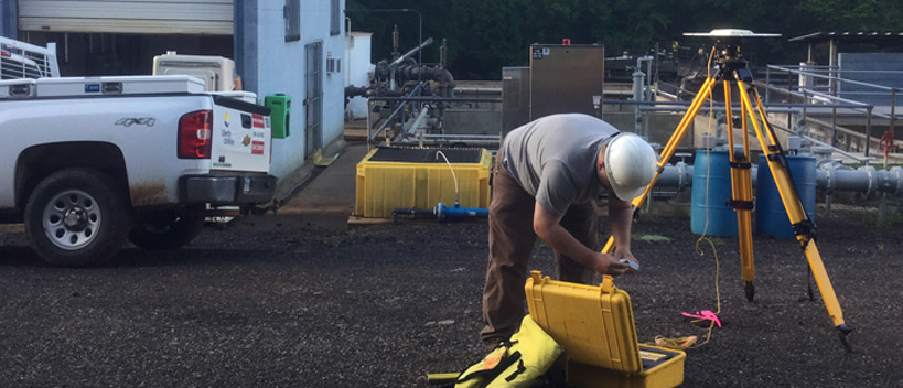
Environmental Surveys
Environmental surveys are typically performed on a site that has been adversely impacted by hazardous substances. Another type of environmental survey involves locating structures such as monitor wells, that aide in detecting, analyzing and monitoring groundwater pollution.
John Cowan & Associates | Land Surveying Tyler TX (903) 581-2238